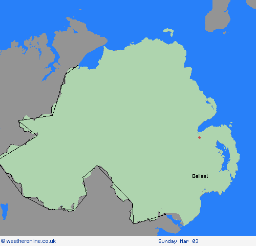
Wetterwarnungen Archiv: Freitag 01.03.2024 05:08 MEZ - Großbritannien


Unwetterwarnung: Schnee
ausgegeben vom Metoffice at
04:08, 01.03.2024
gültig von
04:08, 01.03.2024
gültig bis
10:00, 01.03.2024
Region: Nordirland
An area of rain, sleet and snow which has extended northwards across the south and west of Northern Ireland is expected to be slow moving for a time on Friday morning, before gradually moving back southwards by midday. Some slushy accumulations of 1-2 cm are possible to sea level this morning, some places above 100m altitude could see 2-5cm, and a few higher spots could perhaps see as much as 8cm of snow before conditions improve this afternoon. What should I do? Snowy, wintry weather can cause delays and make driving conditions dangerous. Keep yourself and others safe by planning your route, giving yourself extra time for your journey. Check for road closures or delays to public transport and amend plans if necessary. If driving, make sure you have some essentials in your car in the event of any delays (e.g., warm clothing, food, water, a blanket, a torch, ice scraper/de icer, a warning triangle, high visibility vest and an in-car phone charger). Be prepared for weather warnings to change quickly: when a weather warning is issued, the Met Office recommends staying up to date with the weather forecast in your area.
Chief ForecasterA period of rain and sleet, occasionally turning to snow, is expected on Friday morning.
The public is advised to take extra care, further information and advice can be found here: http://www.metoffice.gov.uk/weather/uk/links.html
01.03.2024


