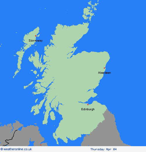
Wetterwarnungen Archiv: Donnerstag 04.04.2024 11:05 MESZ - Großbritannien


Unwetterwarnung: Schnee
ausgegeben vom Metoffice at
09:05, 04.04.2024
gültig von
03:00, 05.04.2024
gültig bis
09:00, 05.04.2024
Region: Highland & Eilean Siar
Snow is expected to develop, particularly over higher ground, during the early hours of Friday before easing during the morning. Accumulating snow is expected to mainly occur above around 200 metres, with a chance of temporary accumulations below this where precipitation becomes temporarily heavy. 2-5 cm of snow is expected fairly widely above 250 metres with a chance that a few places within the warning area at lower levels could see a few cm settle. Accumulations of 10 cm or more are expected to be reserved for above 300 metres. What should I do? Snowy, wintry weather can cause delays and make driving conditions dangerous. Keep yourself and others safe by planning your route, giving yourself extra time for your journey. Check for road closures or delays to public transport and amend plans if necessary. If driving, make sure you have some essentials in your car in the event of any delays (e.g., warm clothing, food, water, a blanket, a torch, ice scraper/de icer, a warning triangle, high visibility vest and an in-car phone charger). Be prepared for weather warnings to change quickly: when a weather warning is issued, the Met Office recommends staying up to date with the weather forecast in your area.
Chief ForecasterSnow is likely to cause some travel disruption on Friday morning, particularly on higher routes.
The public is advised to take extra care, further information and advice can be found here: http://www.metoffice.gov.uk/weather/uk/links.html
04.04.2024


