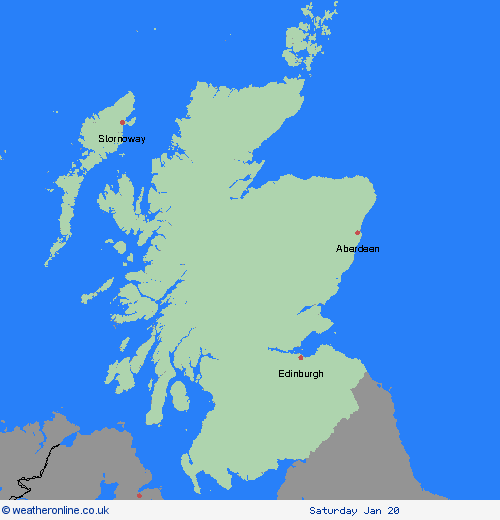
Wetterwarnungen Archiv: Mittwoch 17.01.2024 17:02 MEZ - Großbritannien


Unwetterwarnung: Schnee
ausgegeben vom Metoffice at
16:02, 17.01.2024
gültig von
00:00, 19.01.2024
gültig bis
23:59, 19.01.2024
Region: Central, Tayside & Fife
Snow showers continuing through Friday with accumulations of 5-10 cm quite widely, but an additional 20 cm are possible over higher ground. Drifting of fresh and existing snow cover will add to the impacts. Snow will fall at most levels at first, but turning to rain at low levels with snow mainly above 400m by the end of the day. What should I do? Snowy, wintry weather can cause delays and make driving conditions dangerous. Keep yourself and others safe by planning your route, giving yourself extra time for your journey. Check for road closures or delays to public transport and amend plans if necessary. If driving, make sure you have some essentials in your car in the event of any delays (e.g., warm clothing, food, water, a blanket, a torch, ice scraper/de icer, a warning triangle, high visibility vest and an in-car phone charger). Be prepared for weather warnings to change quickly: when a weather warning is issued, the Met Office recommends staying up to date with the weather forecast in your area.
Chief ForecasterFurther snow showers with a risk of drifting snow will bring further disruption.
The public is advised to take extra care, further information and advice can be found here: http://www.metoffice.gov.uk/weather/uk/links.html
Unwetterwarnung: Schnee/Eis
ausgegeben vom Metoffice at
16:02, 17.01.2024
gültig von
00:00, 18.01.2024
gültig bis
23:59, 18.01.2024
Region: Central, Tayside & Fife
Further snow showers continue, but with the wind subtly changing to a more westerly direction, slightly different areas are most likely to see the greatest focus of showers compared to the previous day. In many areas, this fresh snow will be falling on top of snow already on the ground. Parts of northern and western Scotland (including southwest Scotland) are likely to see an additional 2-5 cm fairly widely, with peaks of 15-20 cm for areas just inland from west / northwest facing coasts. Further inland towards the southeast of the area, an additional 1-2 cm, with isolated 5 cm is more probable. These same figures can be used for Northern Ireland, but the ultimate maximum here is likely to be in the 10-15 cm range. In addition to the snowfall, ice is likely fairly widely, with thawing / re-freezing of slush and snow. What should I do? Snowy, wintry weather can cause delays and make driving conditions dangerous, so to keep yourself and others safe: Plan your route, checking for delays and road closures, amending your travel plans if necessary; If driving, leave more time to prepare and check your car before setting off; Make sure you have essentials packed in your car in the event of any delays (e.g., warm clothing, food, water, a blanket, a torch, ice scraper/de icer, a warning triangle, high visibility vest and an in-car phone charger). Be prepared for weather warnings to change quickly: when a weather warning is issued, the Met Office recommends staying up to date with the weather forecast in your area.
Chief ForecasterFurther snow showers and some ice are likely to continue to bring disruption to travel.
The public is advised to take extra care, further information and advice can be found here: http://www.metoffice.gov.uk/weather/uk/links.html
17.01.2024


