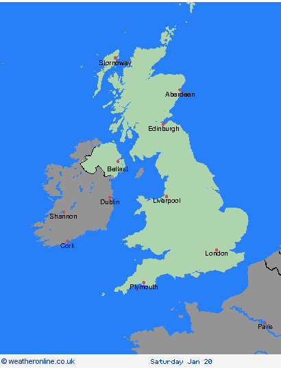
Wetterwarnungen Archiv: Mittwoch 17.01.2024 13:00 MEZ - Großbritannien


Unwetterwarnung: Schnee
ausgegeben vom Metoffice at
12:00, 17.01.2024
gültig von
00:00, 19.01.2024
gültig bis
23:59, 19.01.2024
Region: Highland & Eilean Siar
Snow showers continuing through Friday with accumulations of 5-10 cm quite widely, but an additional 20 cm are possible over higher ground. Drifting of fresh and existing snow cover will add to the impacts. Snow will fall at most levels at first, but turning to rain at low levels with snow mainly above 400m by the end of the day. What should I do? Snowy, wintry weather can cause delays and make driving conditions dangerous. Keep yourself and others safe by planning your route, giving yourself extra time for your journey. Check for road closures or delays to public transport and amend plans if necessary. If driving, make sure you have some essentials in your car in the event of any delays (e.g., warm clothing, food, water, a blanket, a torch, ice scraper/de icer, a warning triangle, high visibility vest and an in-car phone charger). Be prepared for weather warnings to change quickly: when a weather warning is issued, the Met Office recommends staying up to date with the weather forecast in your area.
Chief ForecasterFurther snow showers with a risk of drifting snow will bring further disruption.
The public is advised to take extra care, further information and advice can be found here: http://www.metoffice.gov.uk/weather/uk/links.html
Unwetterwarnung: Schnee
ausgegeben vom Metoffice at
12:00, 17.01.2024
gültig von
00:00, 19.01.2024
gültig bis
23:59, 19.01.2024
Region: Strathclyde
Snow showers continuing through Friday with accumulations of 5-10 cm quite widely, but an additional 20 cm are possible over higher ground. Drifting of fresh and existing snow cover will add to the impacts. Snow will fall at most levels at first, but turning to rain at low levels with snow mainly above 400m by the end of the day. What should I do? Snowy, wintry weather can cause delays and make driving conditions dangerous. Keep yourself and others safe by planning your route, giving yourself extra time for your journey. Check for road closures or delays to public transport and amend plans if necessary. If driving, make sure you have some essentials in your car in the event of any delays (e.g., warm clothing, food, water, a blanket, a torch, ice scraper/de icer, a warning triangle, high visibility vest and an in-car phone charger). Be prepared for weather warnings to change quickly: when a weather warning is issued, the Met Office recommends staying up to date with the weather forecast in your area.
Chief ForecasterFurther snow showers with a risk of drifting snow will bring further disruption.
The public is advised to take extra care, further information and advice can be found here: http://www.metoffice.gov.uk/weather/uk/links.html
Unwetterwarnung: Schnee
ausgegeben vom Metoffice at
12:00, 17.01.2024
gültig von
00:00, 19.01.2024
gültig bis
23:59, 19.01.2024
Region: Central, Tayside & Fife
Snow showers continuing through Friday with accumulations of 5-10 cm quite widely, but an additional 20 cm are possible over higher ground. Drifting of fresh and existing snow cover will add to the impacts. Snow will fall at most levels at first, but turning to rain at low levels with snow mainly above 400m by the end of the day. What should I do? Snowy, wintry weather can cause delays and make driving conditions dangerous. Keep yourself and others safe by planning your route, giving yourself extra time for your journey. Check for road closures or delays to public transport and amend plans if necessary. If driving, make sure you have some essentials in your car in the event of any delays (e.g., warm clothing, food, water, a blanket, a torch, ice scraper/de icer, a warning triangle, high visibility vest and an in-car phone charger). Be prepared for weather warnings to change quickly: when a weather warning is issued, the Met Office recommends staying up to date with the weather forecast in your area.
Chief ForecasterFurther snow showers with a risk of drifting snow will bring further disruption.
The public is advised to take extra care, further information and advice can be found here: http://www.metoffice.gov.uk/weather/uk/links.html
17.01.2024


