Weather Warnings UK


00:00-06:00

06:00-12:00

12:00-18:00

18:00-24:00


Severe Weather Warnings: Rain
issued by the Metoffice at
09:05, 22.05.2024
valid from
17:00, 22.05.2024
until
10:00, 23.05.2024
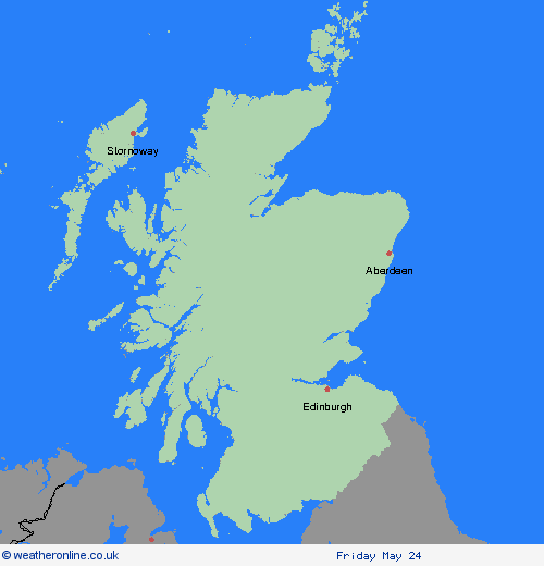
Region: Highland & Eilean Siar
An area of heavy rain is expected to move northwestwards across the warning area during late Wednesday afternoon and persist overnight into Thursday morning, before turning somewhat lighter and patchier. Through this period, 20-30 mm of rain may accumulate quite widely, but some north-facing high ground may see well in excess of 60 mm of rain. Strong and gusty northerly winds may exacerbate any impacts from the rain. What should I do? Check if your property could be at risk of flooding. If so, consider preparing a flood plan and an emergency flood kit. Give yourself the best chance of avoiding delays by checking road conditions if driving, or bus and train timetables, amending your travel plans if necessary. People cope better with power cuts when they have prepared for them in advance. It’s easy to do; consider gathering torches and batteries, a mobile phone power pack and other essential items. Be prepared for weather warnings to change quickly: when a weather warning is issued, the Met Office recommends staying up to date with the weather forecast in your area.
Chief ForecasterHeavy rain may bring some disruption to western and northern Scotland.
The public is advised to take extra care, further information and advice can be found here: http://www.metoffice.gov.uk/weather/uk/links.html
Severe Weather Warnings: Rain
issued by the Metoffice at
09:05, 22.05.2024
valid from
12:00, 22.05.2024
until
18:00, 23.05.2024
Region: Highland & Eilean Siar
An area of heavy rain is expected to move northwest across Scotland from Wednesday afternoon, with rain most persistent across northern and eastern facing high ground. For many areas, rain should gradually become more showery in nature during Thursday, but at the same time, some heavy, slow-moving downpours may develop across parts of southern and eastern Scotland. 20-40 mm may accumulate quite widely through this period, but in excess of 60 mm is quite possible over some northern and eastern facing high ground. Locally strong and gusty winds through Wednesday evening and early on Thursday may exacerbate any impacts from the rain. What should I do? Check if your property could be at risk of flooding. If so, consider preparing a flood plan and an emergency flood kit. Give yourself the best chance of avoiding delays by checking road conditions if driving, or bus and train timetables, amending your travel plans if necessary. People cope better with power cuts when they have prepared for them in advance. It’s easy to do; consider gathering torches and batteries, a mobile phone power pack and other essential items. Be prepared for weather warnings to change quickly: when a weather warning is issued, the Met Office recommends staying up to date with the weather forecast in your area
Chief ForecasterHeavy rain may produce some flooding and transport disruption.
The public is advised to take extra care, further information and advice can be found here: http://www.metoffice.gov.uk/weather/uk/links.html


22.05.2024